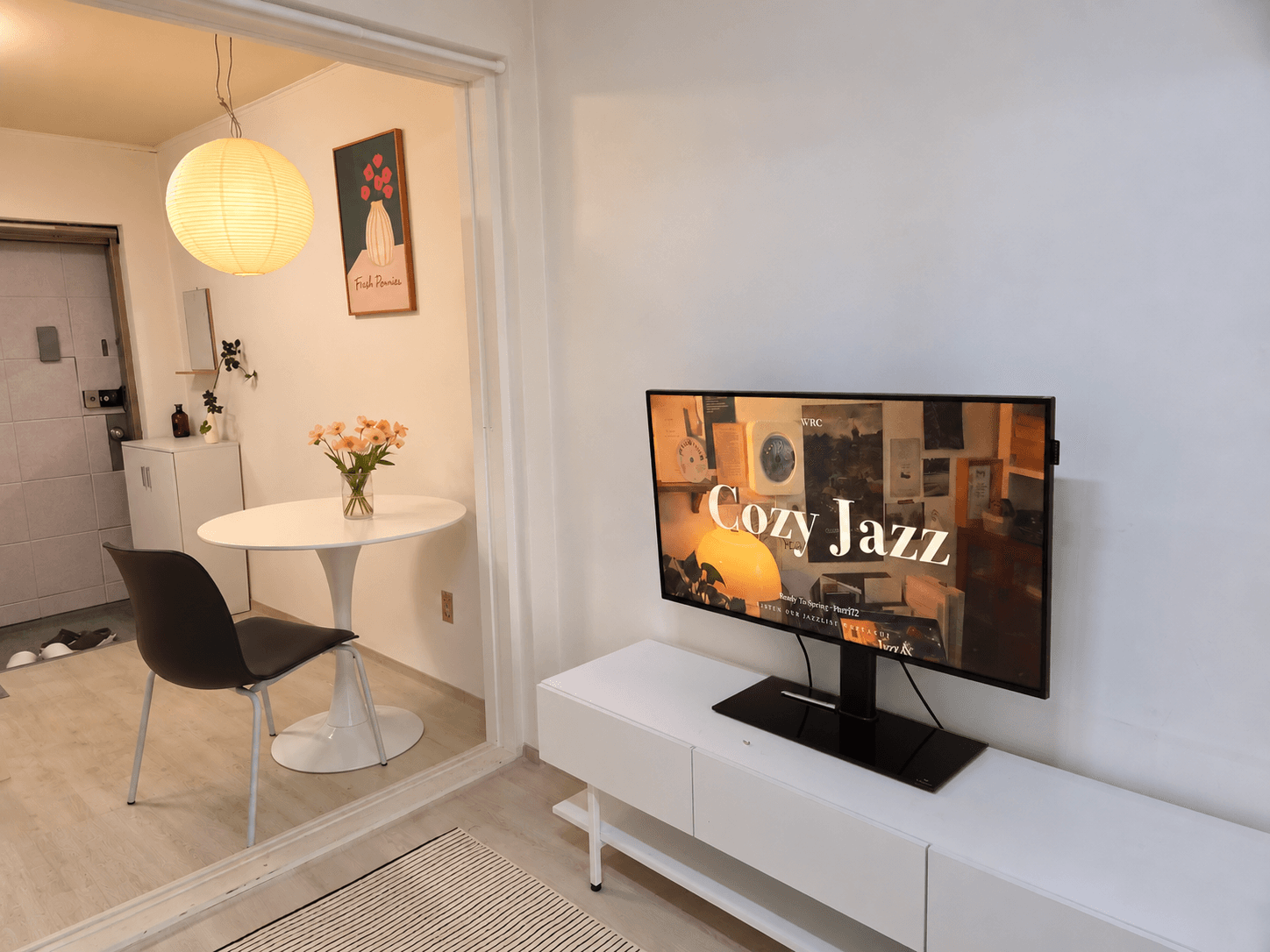
Cozy JazzWRC Ready To Spring - Part 172 LISTEN OUR JAZZLIST WRC & CUIDetached houseFully Furnished House 5-Minute Walk from Sinsa StationSeocho-gu, Seoul₩ 1,700,000+/30daysMin 7 daysUp to 5% off
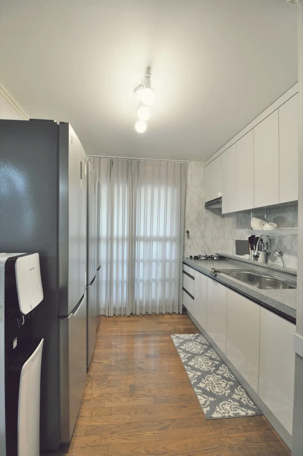
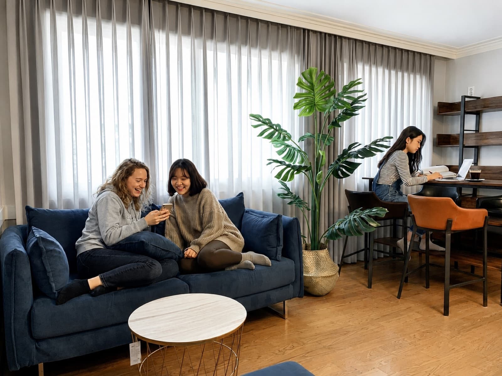
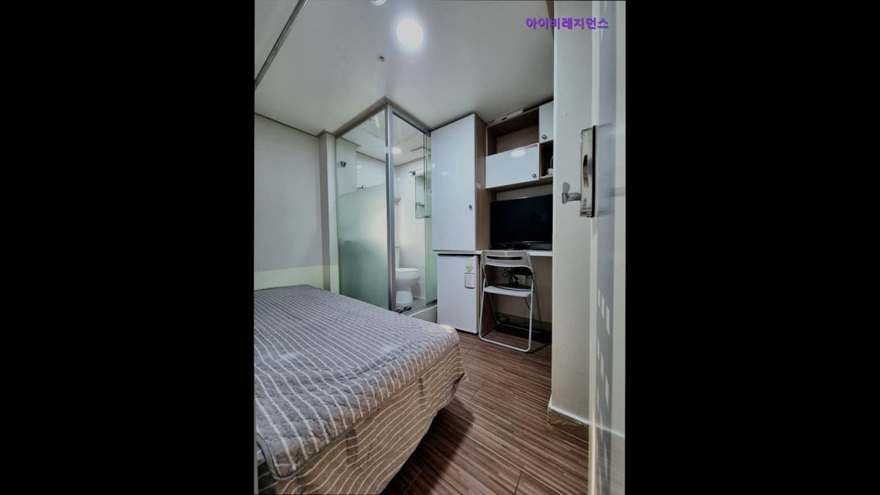
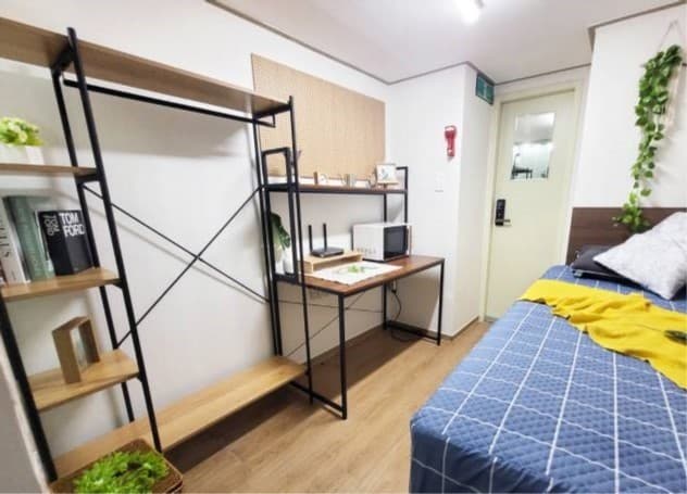
Share-houseWomen-only share house 5 min from Nonhyeon Station (Gangnam area)Seocho-gu, Seoul₩ 600,000+/30daysMin 60 days
Detached house[3 min from Nonhyeon Station, 6 min from Sinsa Station] Stay@NonhyeonSeocho-gu, Seoul₩ 1,200,000+/30daysMin 7 days
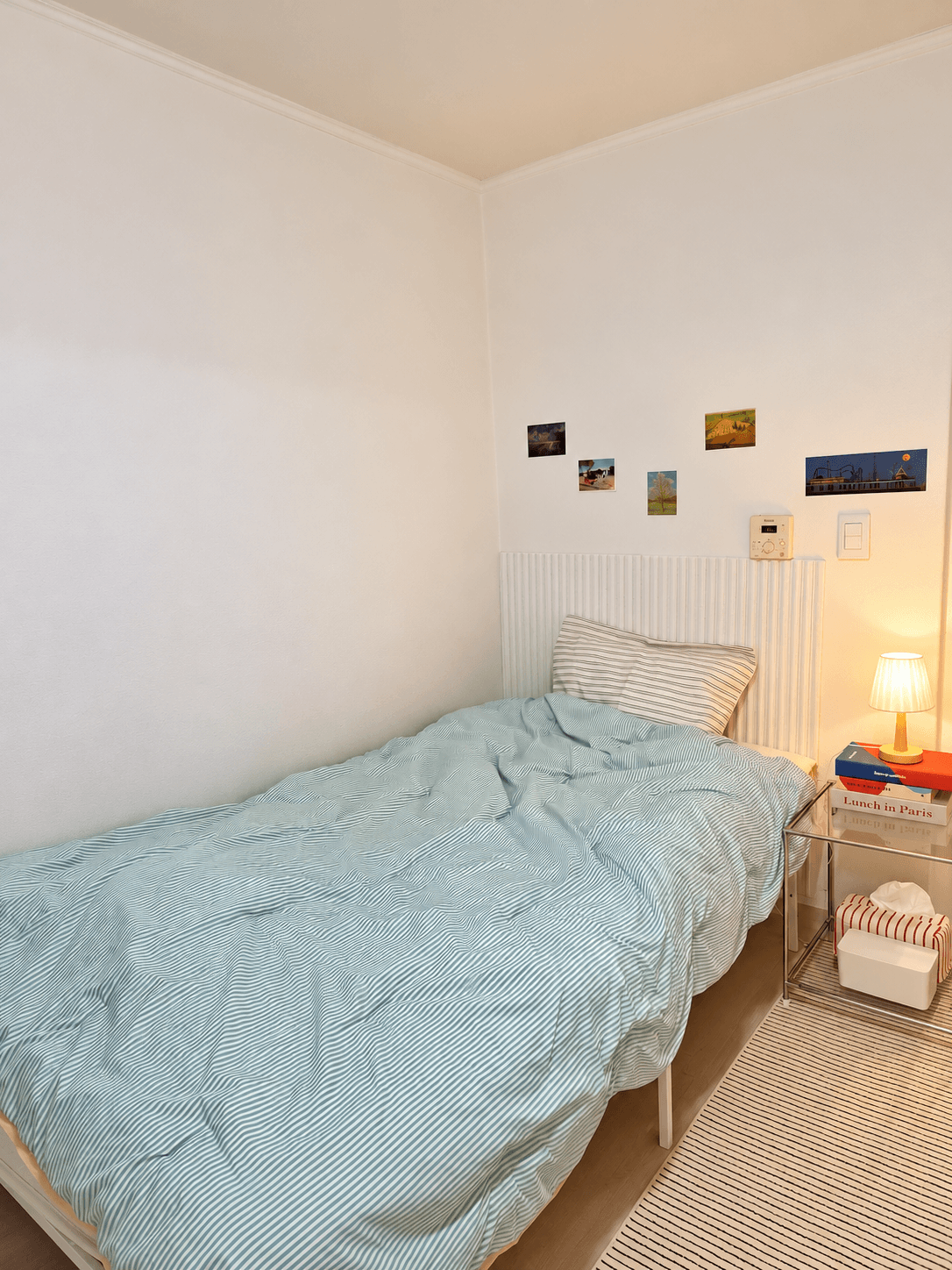
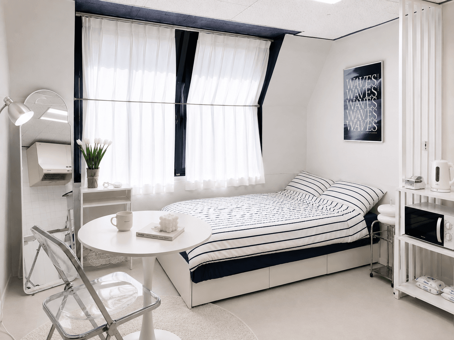
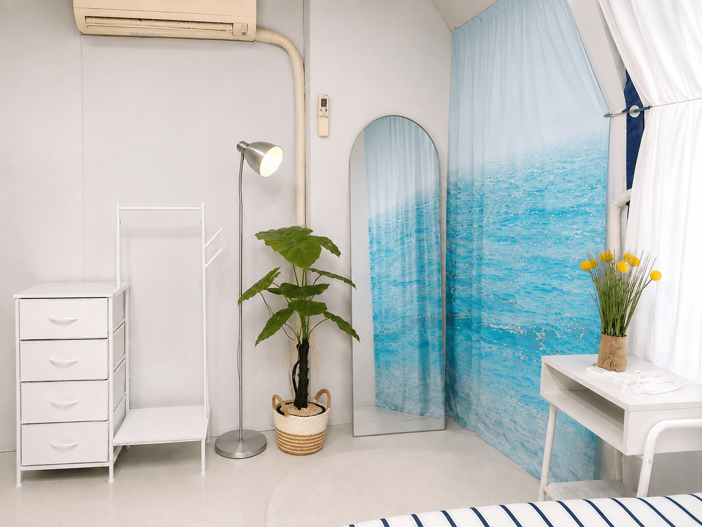
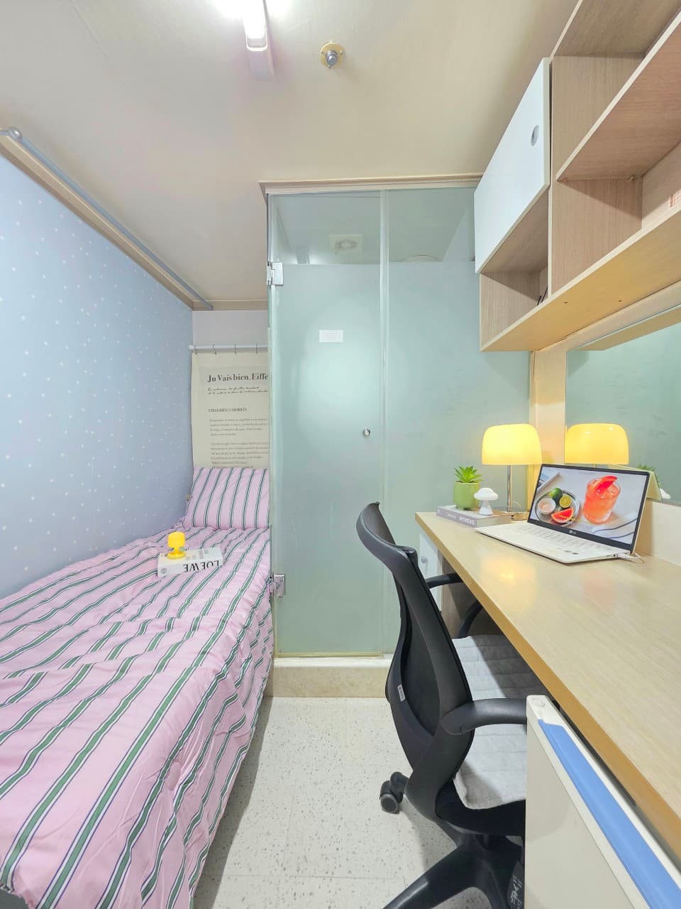
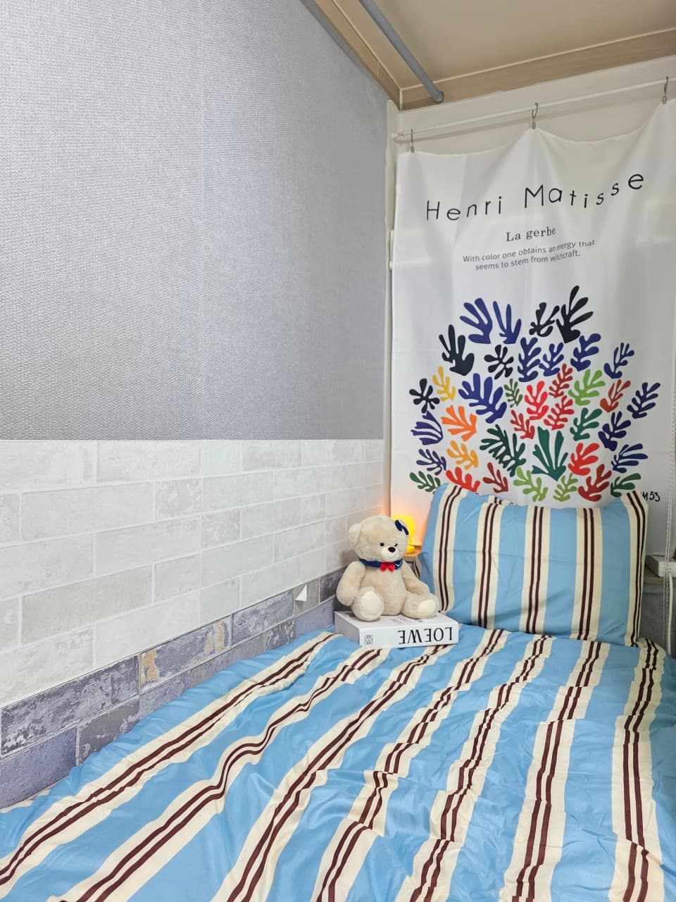
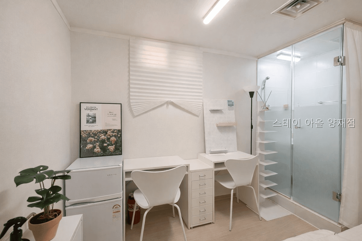
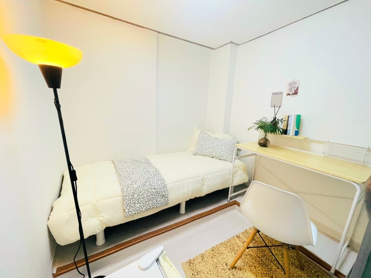
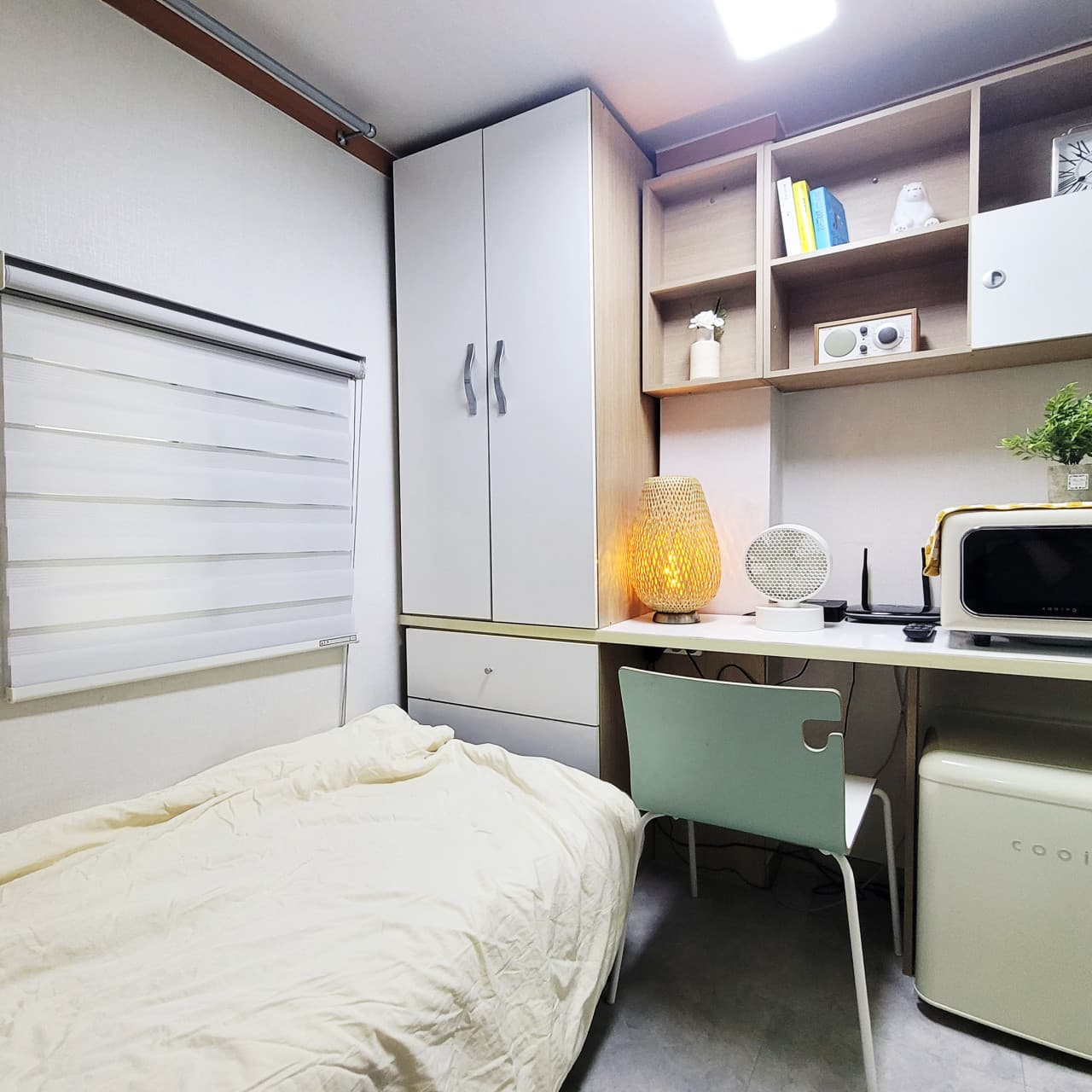
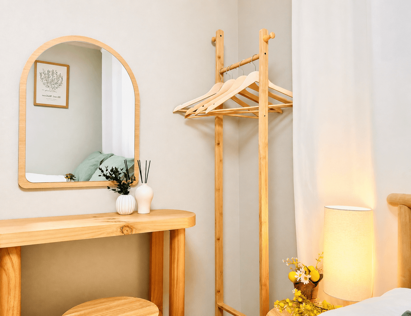
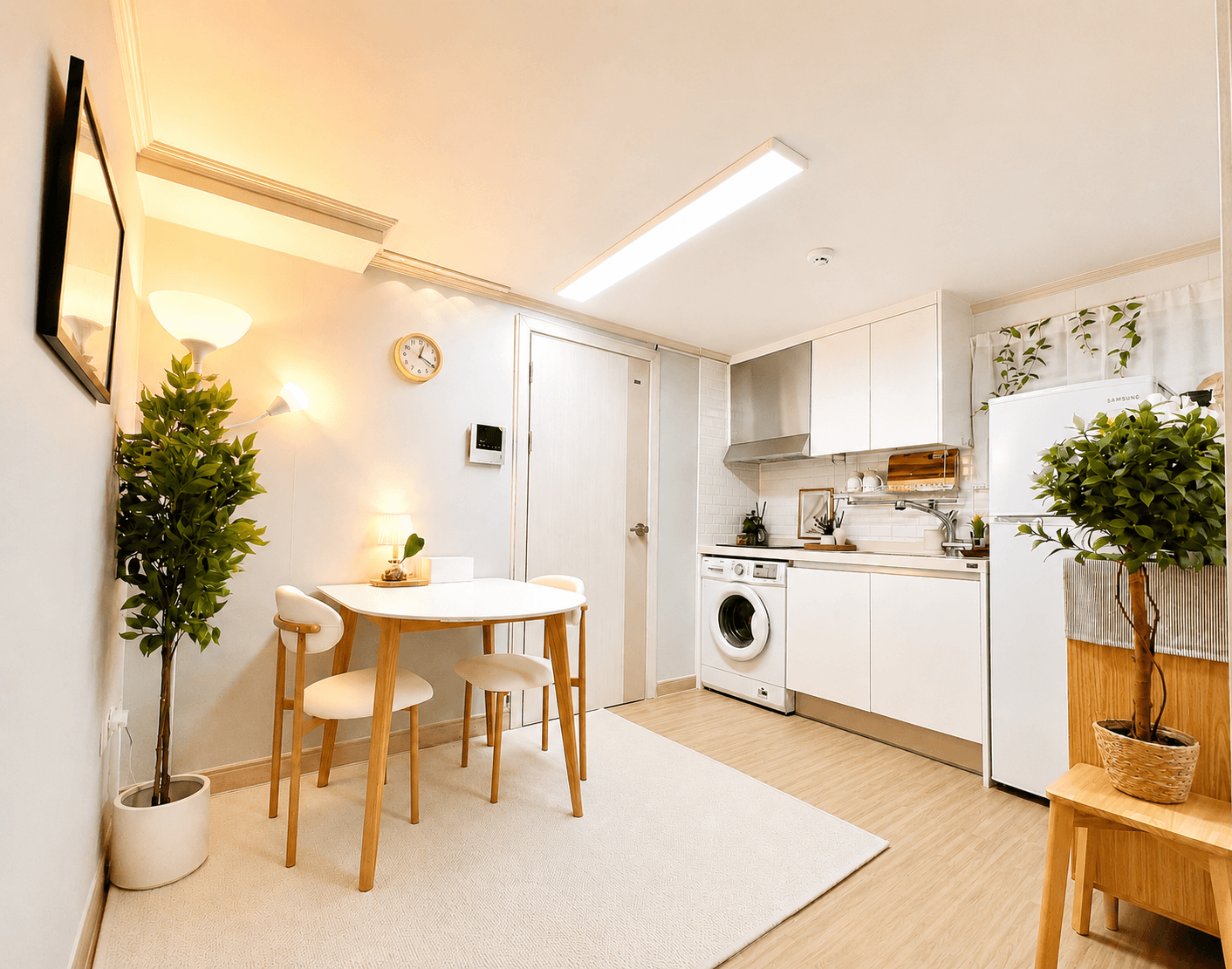
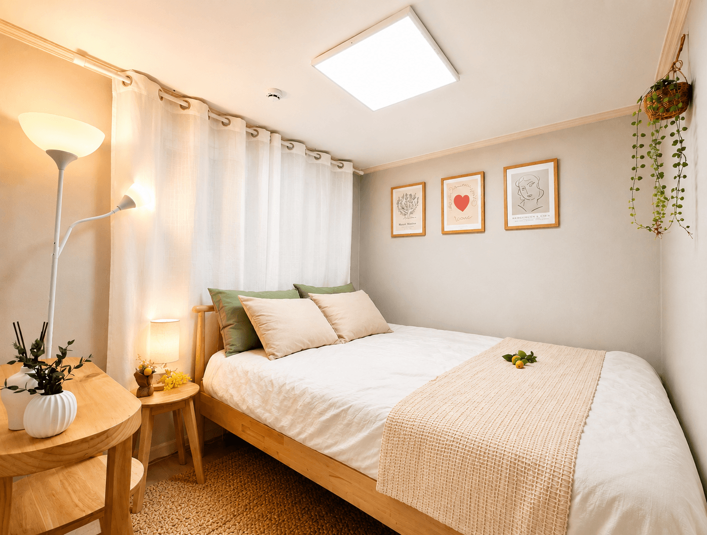
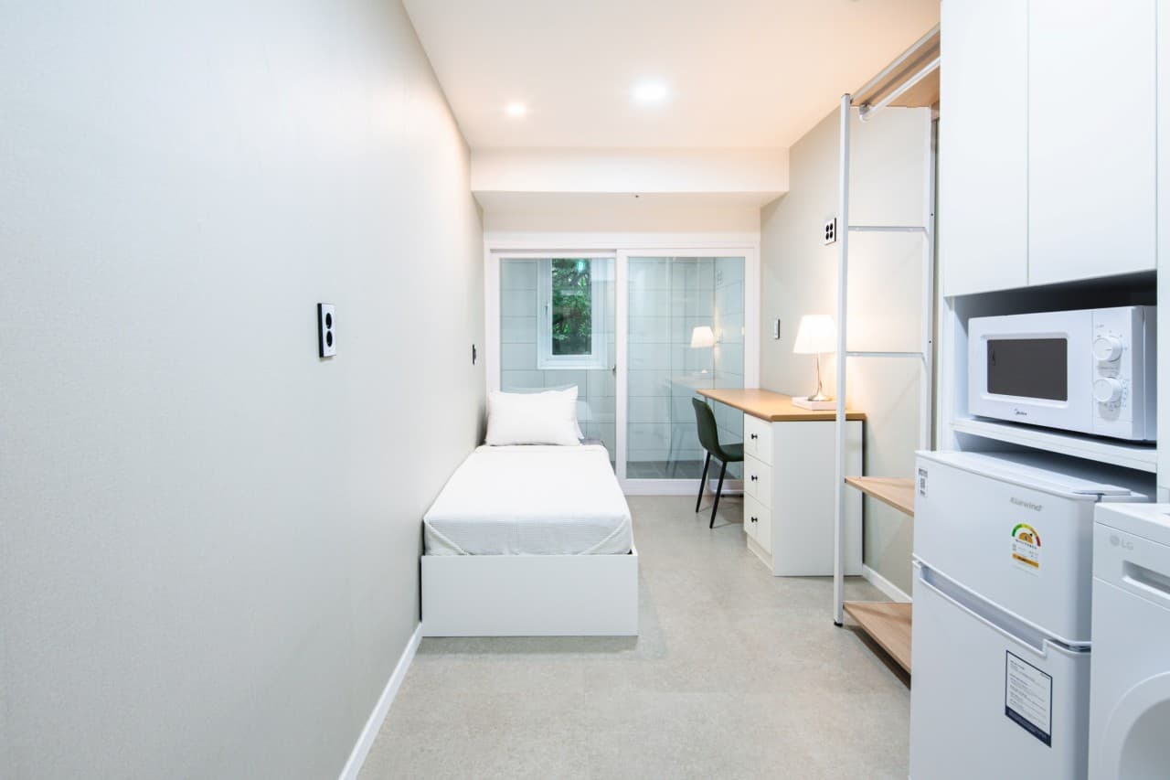
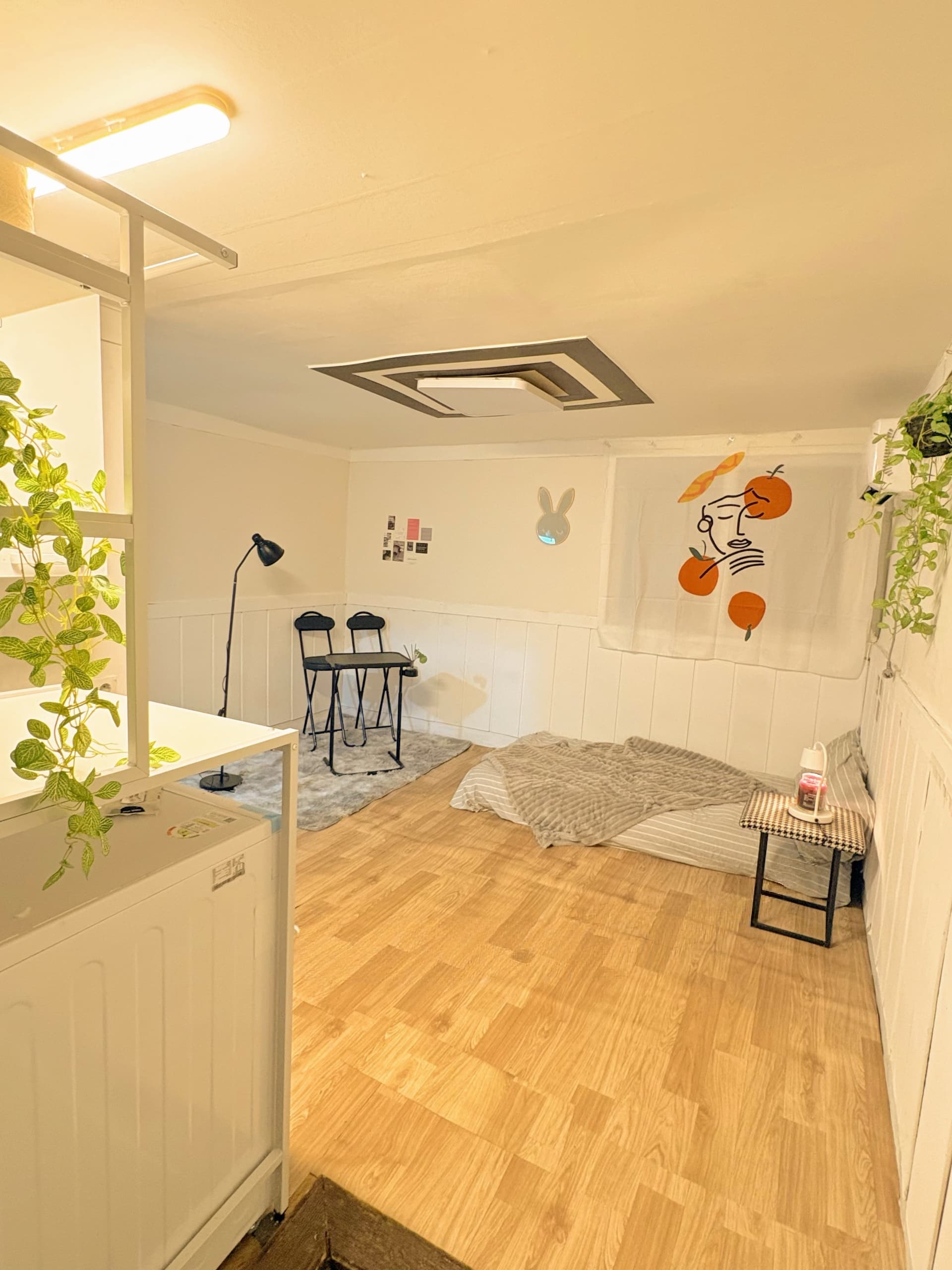
Henri MatisseLa gerbe With color one obtains an energy that seems to stem from witchcraft.Micro StudioStaydam SeochoSeocho-gu, Seoul₩ 350,000+/30daysMin 28 days
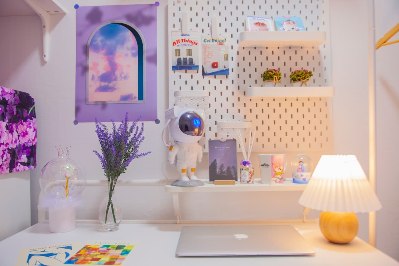
Detached houseGangnam💜5 min from Gyodae Station | Gangnam Area 2-Room StaySeocho-gu, Seoul₩ 1,900,000+/30daysMin 7 days
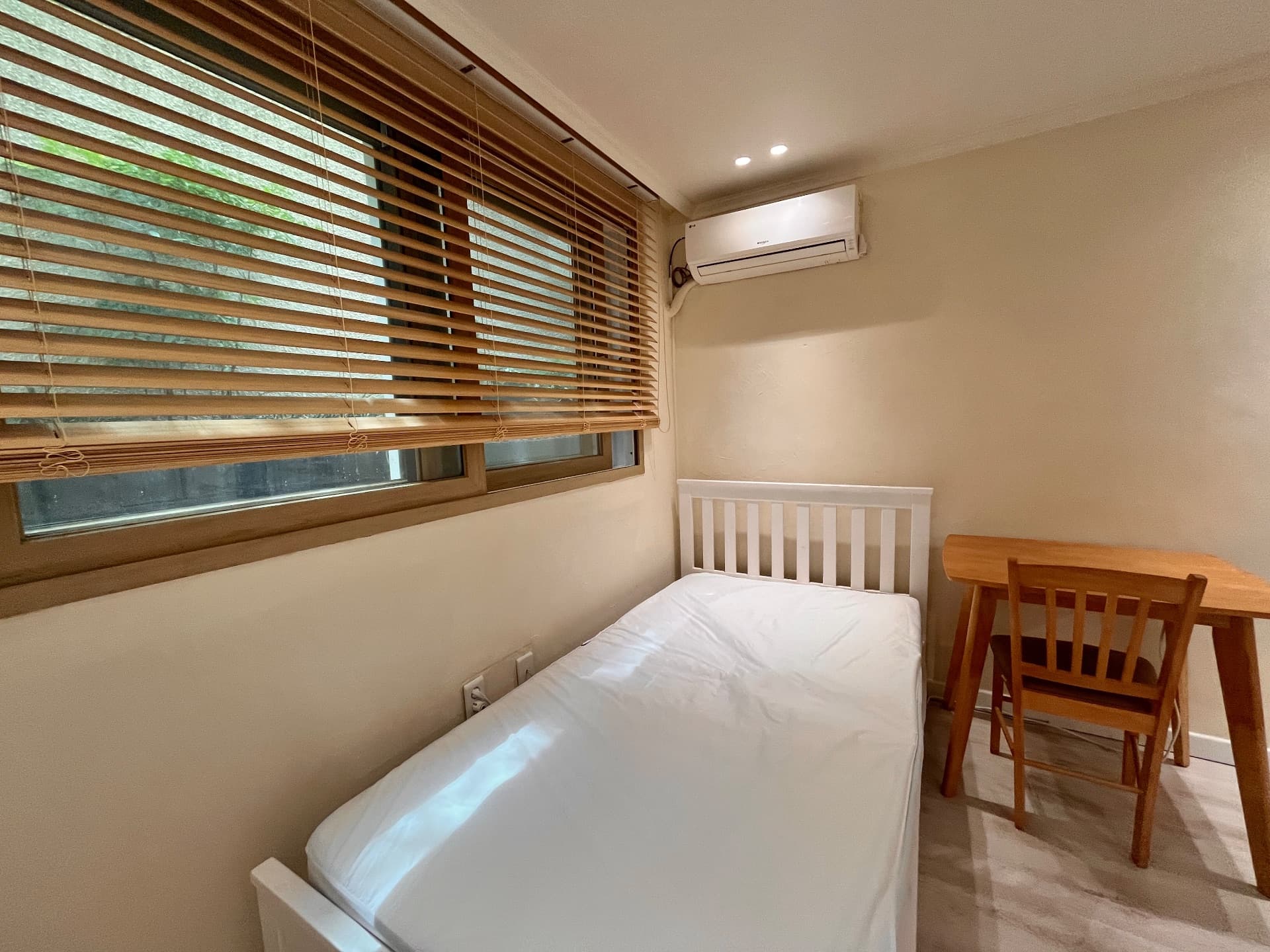
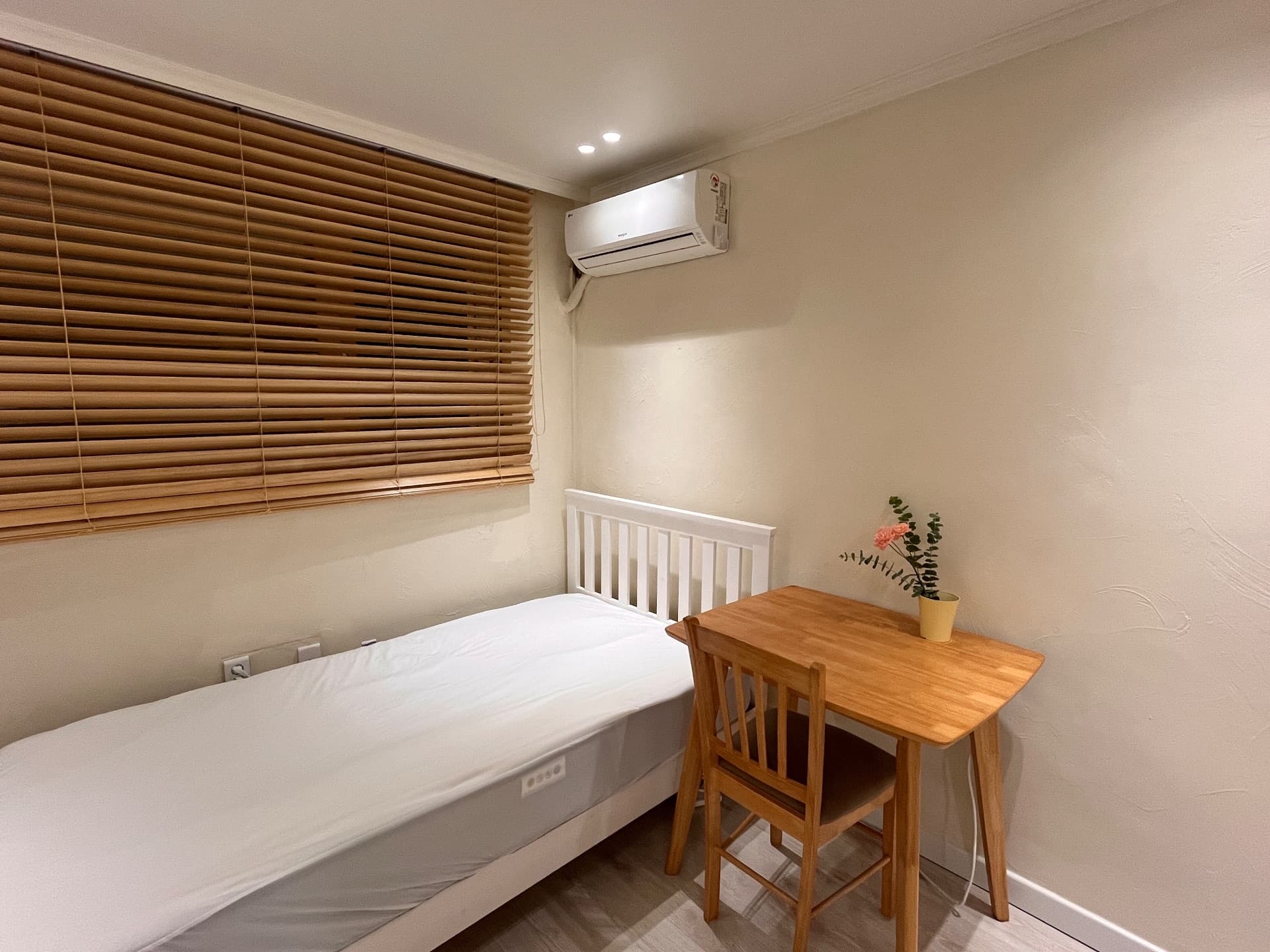
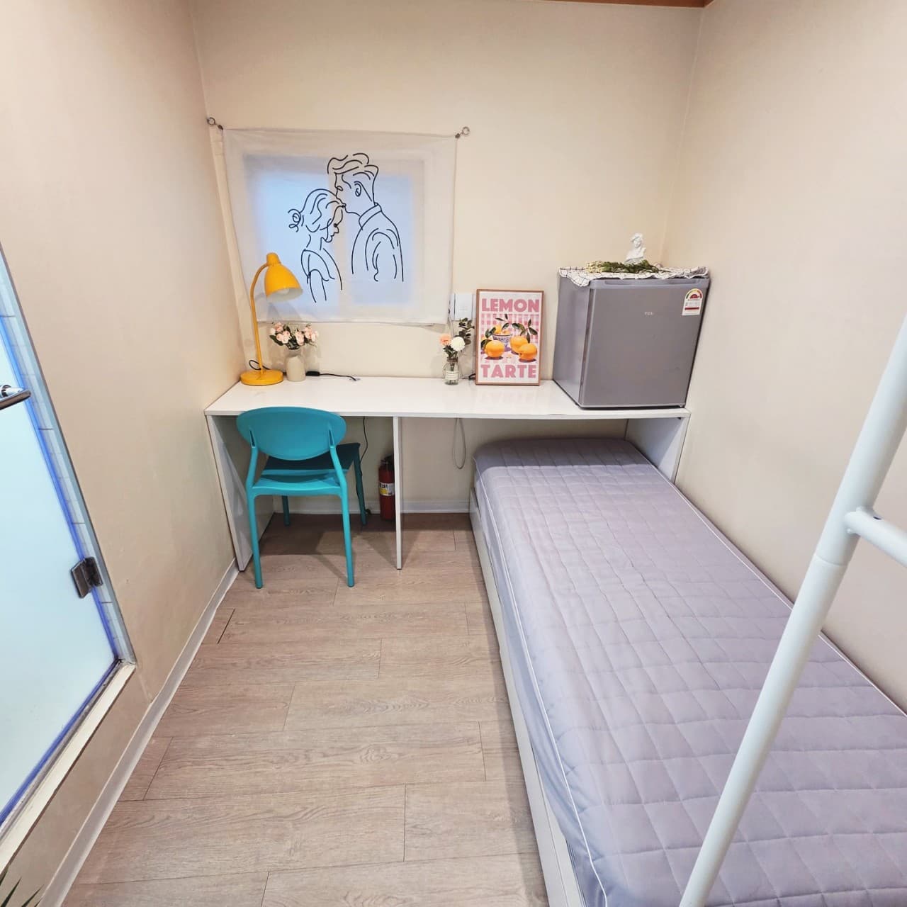
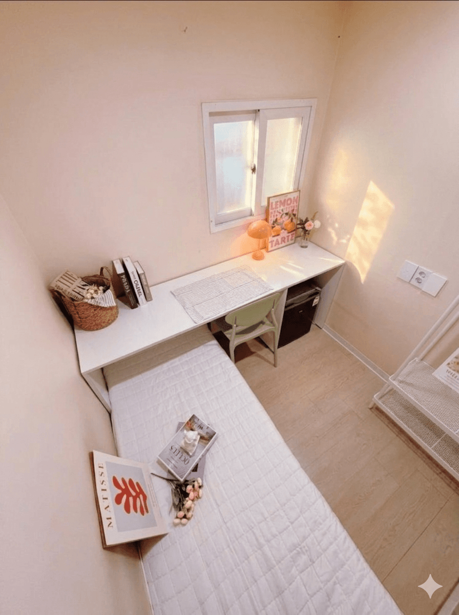
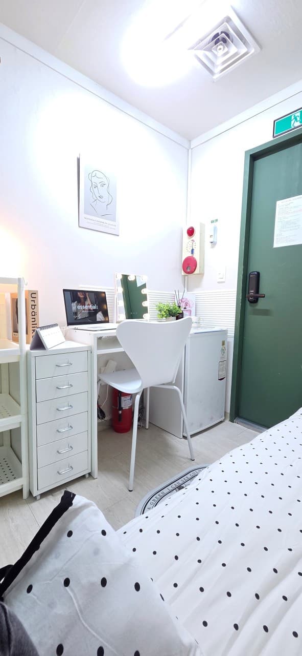
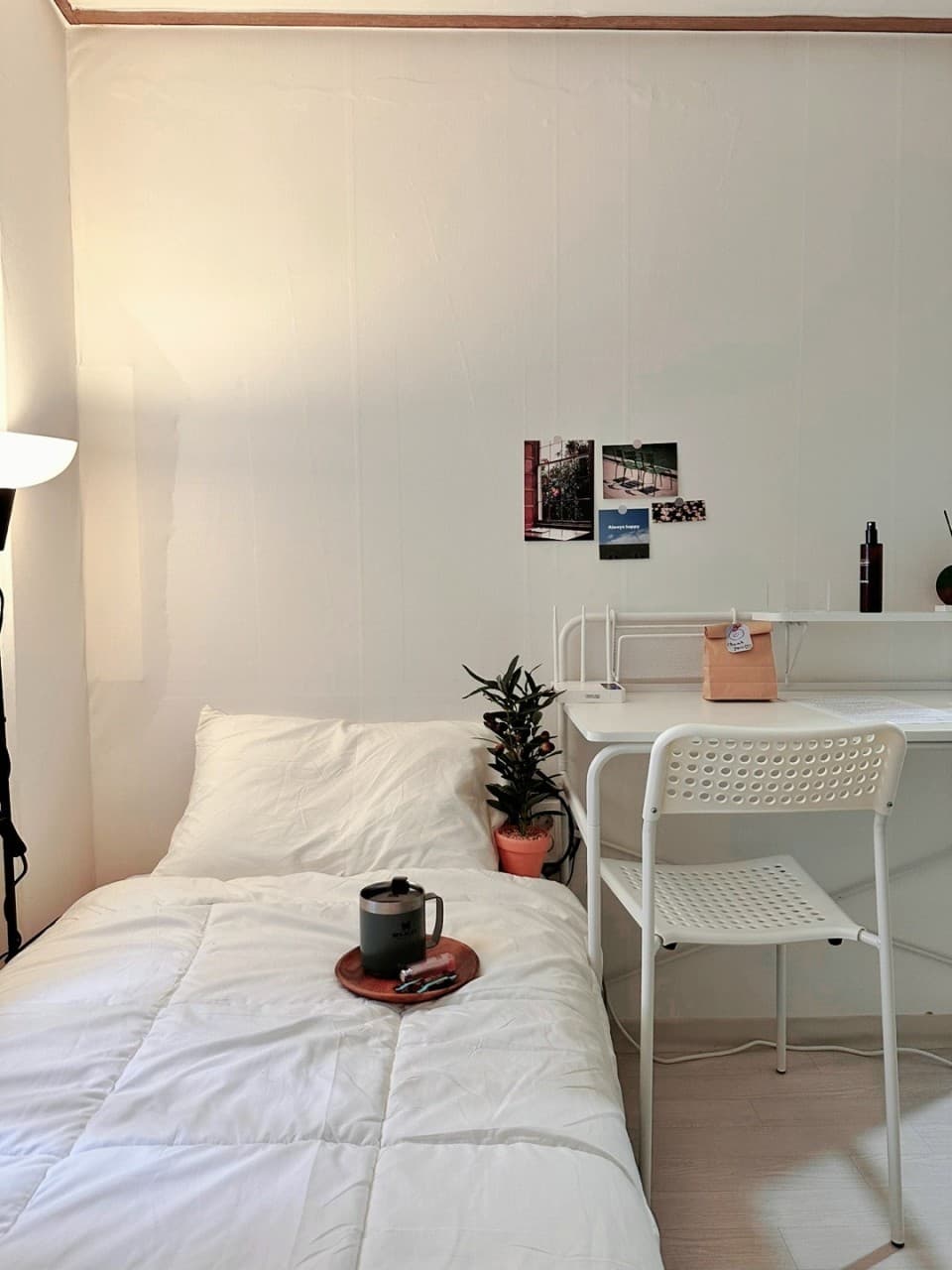
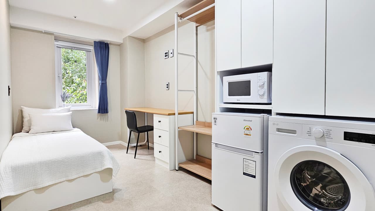
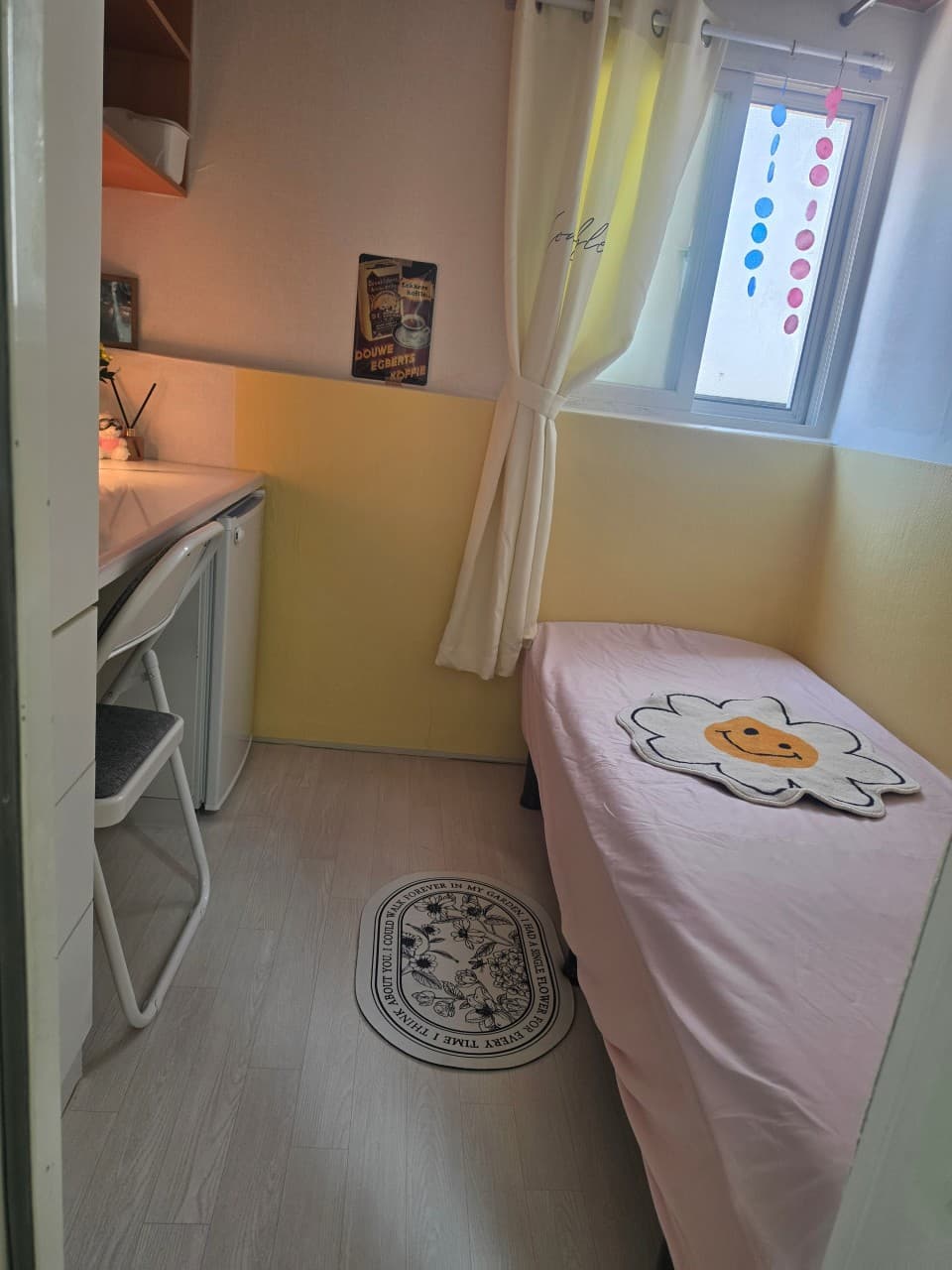
DOUWE EGBERTS KOFFIEI HAD A SINGLE FLOWER FOR EVERY TIME I THINK ABOUT YOU. I COULD WALK FOREVER IN MY GARDEN.Micro StudioDalhae Stay Sadang-Bangbae StationSeocho District, Seoul₩ 390,000+/30daysMin 28 days
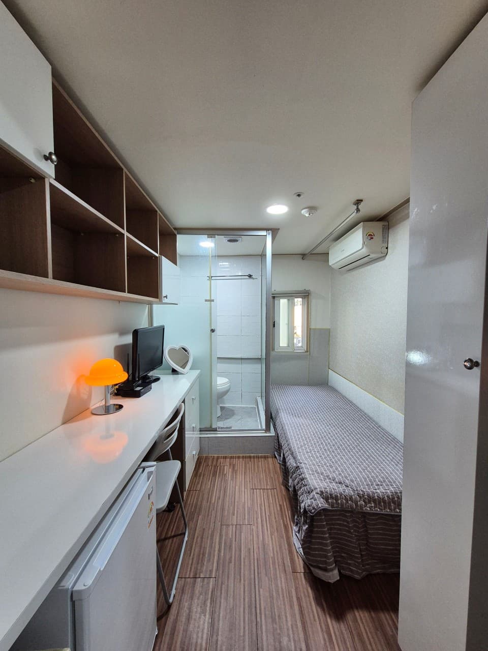
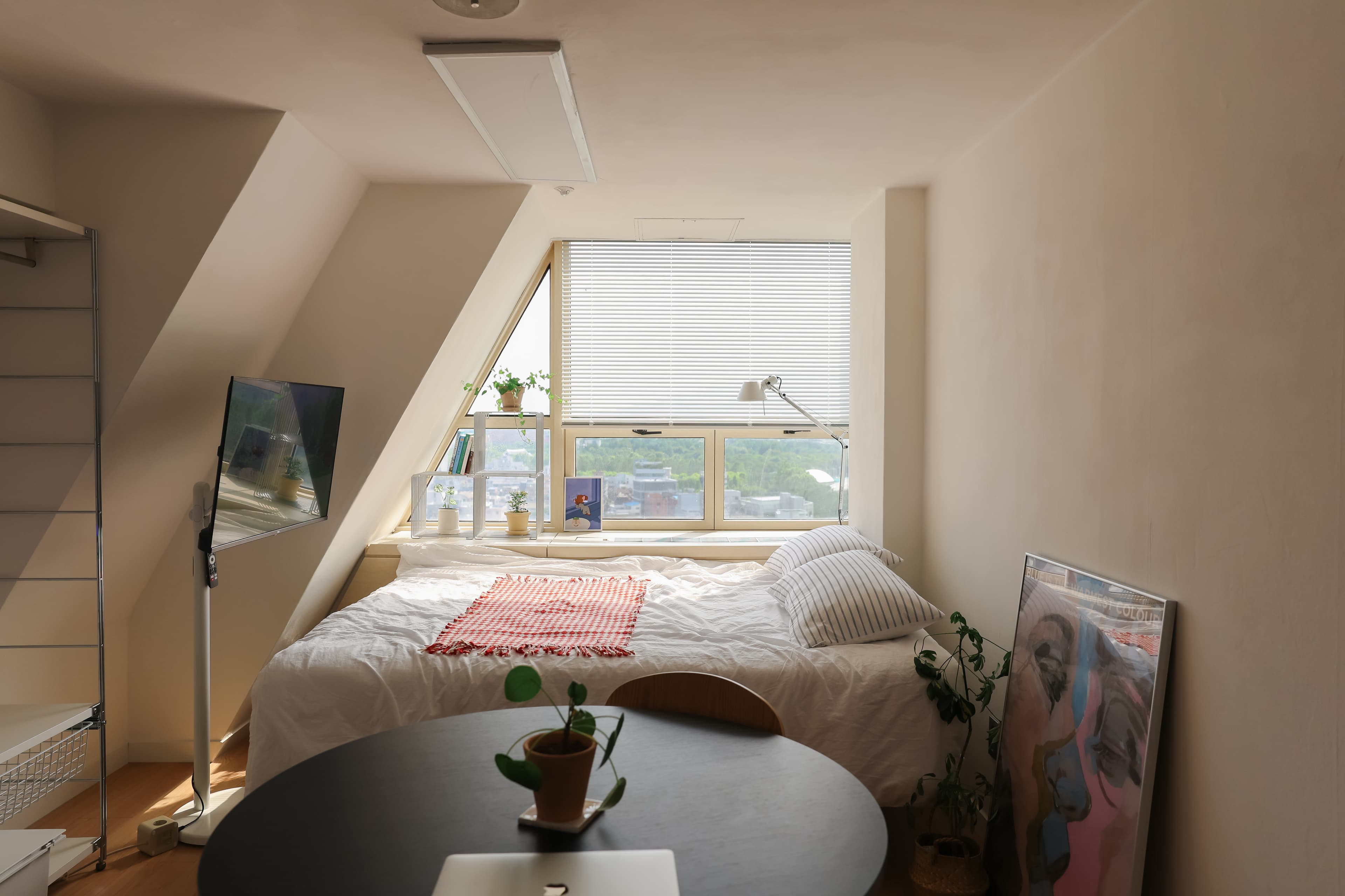
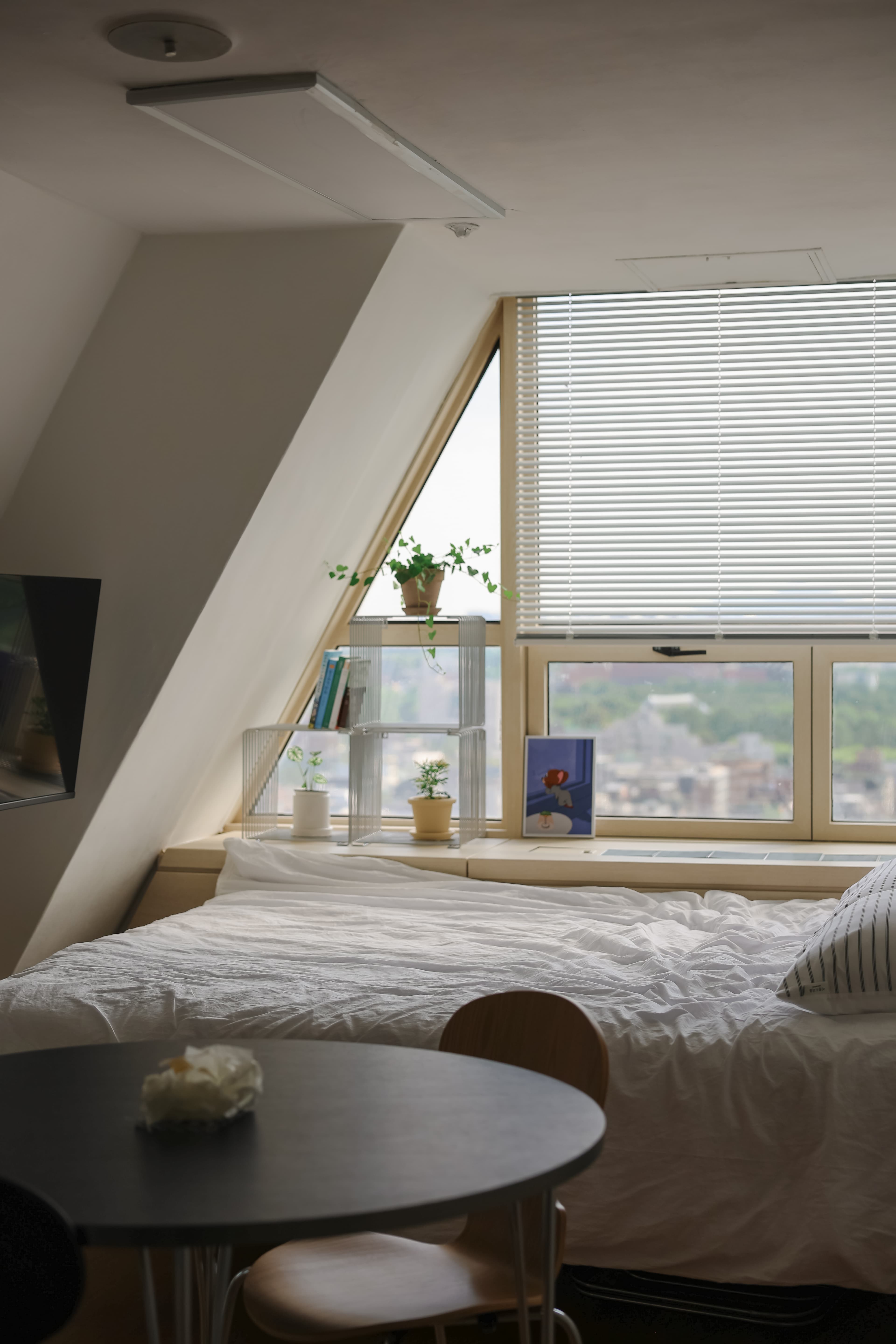
OfficetelMy small but perfect space in the heart of the citySeocho-gu, Seoul₩ 1,950,010+/30daysMin 28 days